
Preventive solutions and build scenarios related to natural disasters, renewable energies/green hydrogen and critical minerals
We use emergent geotechnologies and AI approaches to geospatial analysis, build geoplatforms, and create virtual reality spaces associated with geodata
Recent case studies
-
Our solution helps to better detail the areas with the highest risk of flooding by using images with higher spatial resolution, a data-driven solution, and spatial statistics/geostatistics.
-
Using an operationalized monitoring platform allowed the establishment of dynamic analyses on the occurrence of extreme natural events.
-
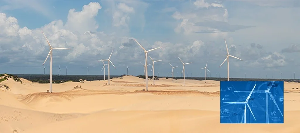
Apply geospatial analysis to assess the chain of green hydrogen particularly clean energy sources, water sources for electrolysis, and build climate scenarios in a semi-arid region
GIZInsight is a deep tech that works with problems associated with climate change, renewable energy, and natural disasters. We use complex science and technology to solve current issues with high-added value contributing to decarbonization
Our team
We are an interdisciplinary team with solid experience in geospatial analysis, artificial intelligence/machine learning, remote sensing, UAVs, Lidar, and 3D modeling. The team has solid geosciences, energy, hydrology, and cartography knowledge. This unique “double helix” of capabilities equips us to help our clients to find solutions associated with energy and disaster management
