Services
How we can help you
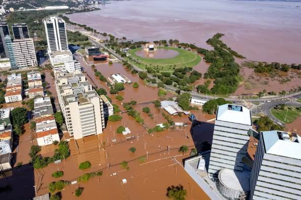
GIZInsight combines deep data analytical knowledge and geovisualization approaches to deliver high-quality integrated solutions focused on geospatial information technology for disasters, environmental analysis, and renewable energy
Our Services
-

Basic - Data management and geospatial analysis
We work with our partners to make data smarter, more current and coherent seeking automation procedures whenever possible
We establish validation goals where all data sources are identified and quality objectives are defined
We use several geospatial analysis tools combined with statistical procedures to obtain new insights from data
-

Intermediate - Geoplatform
We use WebGIS technology, which is the combination of web and GIS, allowing people to interact with GIS apps globally and access information instantly
• Global reach: you can share your geographic information within your organization and with people all over the world
• Low cost per user: the cost of building one Web GIS app is often cheaper than building a stand-alone desktop solution
• Easy to use: Web GIS apps typically incorporate simplicity, intuition, and convenience into their design. Public users can use these apps without having prior knowledge
-

Advanced - 3D modeling and VR
Virtual reality is a powerful approach to visualizing, traning, and improving decision management for renewable energy and green hydrogen
Connect VR software with traditional GIS creating a 3D virtual landscape
Integrate teams to obtain new solutions and insights
Reduce fieldwork time
Develop training for technicians and communities